The 1820s fur trappers who gave the Cache la Poudre River its name used the French phrase that translates as “hide the powder” to commemorate the large cache of gunpowder that they secreted along the river during a massive blizzard. Back then, they could not have imagined that the upper reaches of the river would be treasured for powder snow drifting reliably from the skies.
The area now called Cameron Pass ranks as one of Colorado’s best winter playgrounds. Even when winter days along the northern Front Range are sunny, clouds tend to stack up over the nearby high country. In truth, it can be wintry up there from November well into April and often May, and Fort Collins winter recreationists head north on U.S. 287 to Ted’s Place, a landmark intersection, where they turn west into the Poudre Canyon via state Route 14.
This is Colorado’s northernmost year-round route into the heart of the mountains with unsurpassed recreational access and to the vast, sparsely populated valley of North Park beyond. Only since it was paved in 1979 has it been maintained for year-round use.

Picnic grounds and summer trailheads abound, some leading into the Cache la Poudre along the lower canyon and higher up into the Neota, Never Summer, Comanche Peak and Rawah Wildernesses. The Colorado State Forest flanks the highway near Cameron Pass, and the northwest corner of Rocky Mountain National Park is not far away. That’s a lot of protected, managed land to explore, and abundant trails enable you to do so.
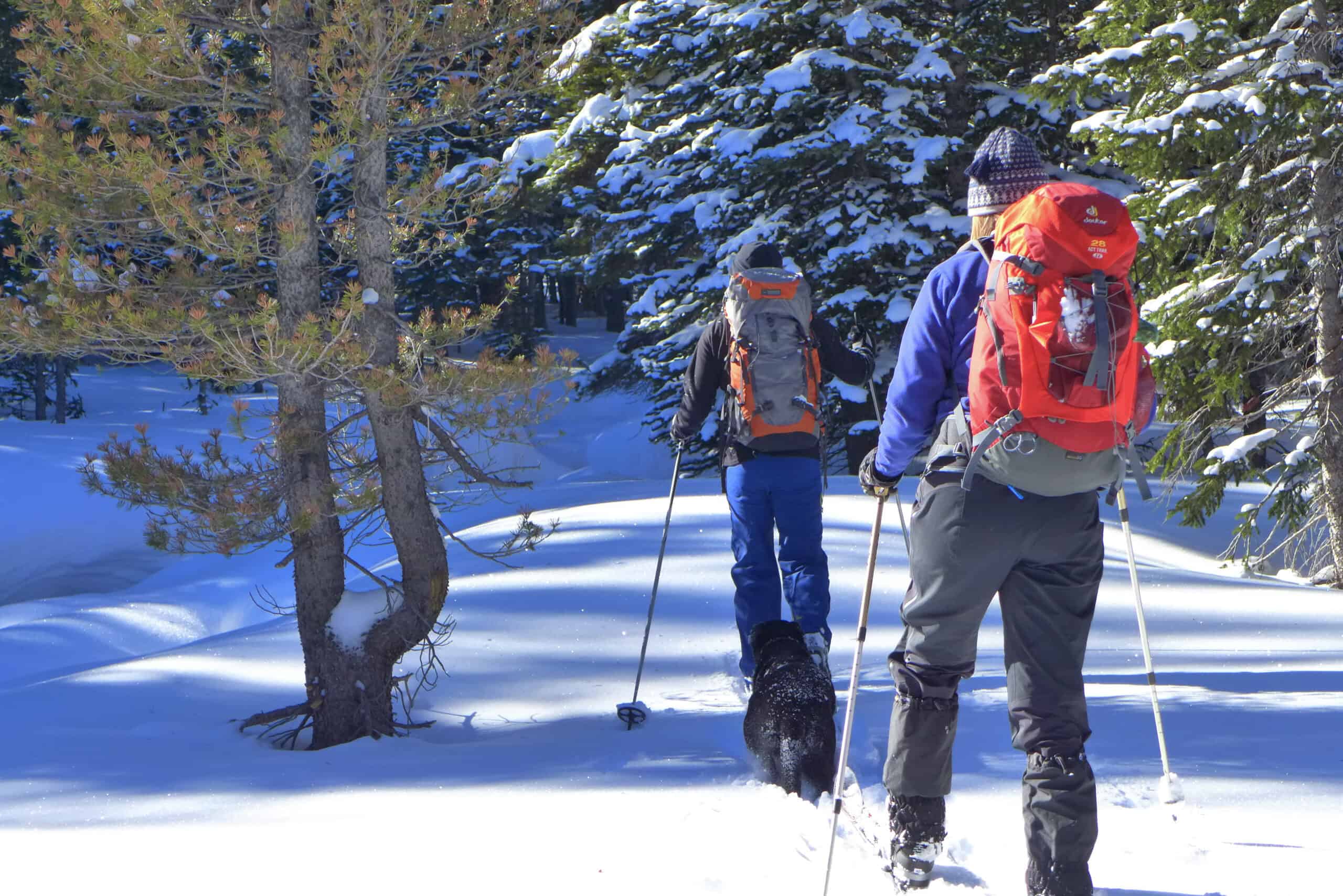
After a snowstorm, many trails become snowshoeable, but cover is reliable at trailhead elevations of 9,000 feet or higher, more than 50 miles from the Ted’s Place turnoff. Many routes are unplowed summer roads that are shared with snowmobiles, while others are narrower and open only for non-motorized recreation. Some trailhead parking areas are equipped with toilet facilities, not insignificant on a cold, wind-whipped day.
Here are some trails to try:
Unplowed Green Ridge Road (County Road 103/Forest Road 190) on the right side of the highway flirts with the northeast shore of Chambers Lake, created when the Laramie River was dammed. It rises mildly toward smaller Lost Lake, Laramie Lake and eventually Twin Lakes. When frozen, these lakes, which nestle in gentle depressions in the land, have the appearance of clearings in the forest.
Just up the highway is the popular route to Blue Lake, officially called the Sawmill Creek Trail. It offers glimpses of Chambers Lake as it leads through a long, gentle stretch through a thick lodgepole forest. After crossing frozen, drifted-over Sawmill Creek, the route enters the Rawah Wilderness and steepens considerably. Blue Lake, a natural mountain feature, is trapped in a deep little valley with trees on one side and the mostly open slopes of Clark Peak on the other.
Two trails on the left side of the highway lead to Long Draw Road, a 10-mile forest route. The main trailhead, shared by motorized and non-motorized users, directly accesses it, but many snowshoers opt to start at the non-motorized access from the Long Draw/Meadows trailhead. In either case, snowshoers soon veer off onto either the Long Draw Ski Trail or the Meadows Ski Trail, both named before snowshoeing became popular. This area is notable for hilly terrain, beautiful stands of beefy Ponderosa pine, denser subalpine fir and Engelmann spruce, and thick willows captured in a frozen wetland.
The Zimmerman Lake Trail on the left is a snow-covered service road that leads to a large reservoir surrounded by rounded peaks, and across the highway on the right is the Montgomery Pass Trail, a short and steep route that is perfect for a workout, but imperfect for a casual snowshoe outing.

A large parking area at the crest of Cameron Pass accesses the Michigan Ditch Trail, which is short, wide, flat and ideal for new snowshoers, families with small children and lowland visitors who may not fare well at more than 10,000 feet above sea level.
It offers a great deal of scenic bang for the buck (you will have to pay a modest use fee because it is in the Colorado State Forest), with its stunning views of Mt. Richthofen and the Nokhu Crags, rock spires that are a signature of this part of the Never Summer Range.
The highway drops down the west side of Cameron Pass into the heart of the Colorado State Forest. The Gould Lake Ski Trail, also named before snowshoeing soared, is a loop trail known for accessibility, scenery, good snow, relatively low usage and the possibility of seeing a moose.
The natural access points are at the Ranger Lakes Campground and at the Gould Community Center, both on the left side of the highway. The loop can be snowshoed in several combinations by stringing together forest roads and trails, crossing or circling the broad Michigan River Valley with its backside view of the Nokhu Crags and leading through an aspen-conifer forest.
If You Go
Head north on U.S. 287 to Ted’s Place, a landmark intersection, where they turn west into the Poudre Canyon via state Route 14.